
Portfolio
Road Junction Infrastructure BIM Model
Comprehensive 3D BIM modelling of a multi-lane signalised road junction, all modelled to LTA Road Design Standards for construction-ready documentation.
Beyond+
Project Details
Project Reference
Signalised Road Junction — Infrastructure BIM Model
Client / Owner
Land Transport Authority (LTA), Singapore
Project Type
Road & Traffic Infrastructure — Civil BIM
Main Contractor
Confidential
BIM Discipline
Civil · Road Markings · Electrical (Traffic Signals)
Model LOD
LOD 300 / LOD 350
Junction Type
Multi-lane Signalised Junction with Yellow Box Markings
Road Furniture
Traffic Signals · Street Lighting · Pelican Crossing · Road Signs
Software Used
Autodesk Revit · Civil 3D · Navisworks Manage
Project Status
Completed
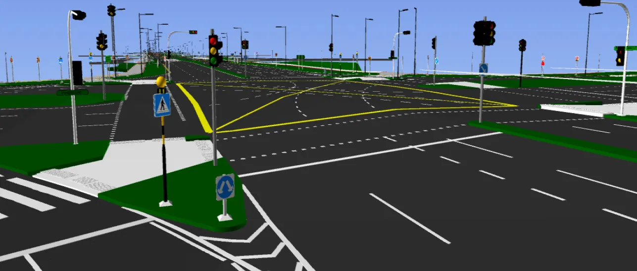
Fig. 1
Scope Of Work


Key Deliverables
Full road junction BIM model (Revit / Civil 3D) — carriageway, road furniture, and underground services combined
Road marking plans — construction-ready drawings showing all pavement marking types and dimensions
Traffic signal BIM model — pole positions, signal heads, controller cabinets, and underground ducting
Street lighting BIM model — pole layout, luminaire type, underground cable routes, and drawpit positions
Road signage schedule — sign types, post positions, heights, and fixing details
Pedestrian infrastructure drawings — crossing layouts, tactile paving, and accessibility compliance
Clash detection report (Navisworks) — road furniture vs. underground utilities resolved issue log
As-coordinated model handover package for contractor construction use
Why This Matters
Full Junction BIM
Every element — from road markings to signal foundations — in one coordinated model, eliminating cross-discipline drawing conflicts.
LTA Standards Built In
Road furniture positioned and sized to LTA Road Design Standards, Traffic Signs Manual, and Code of Practice for Street Works.

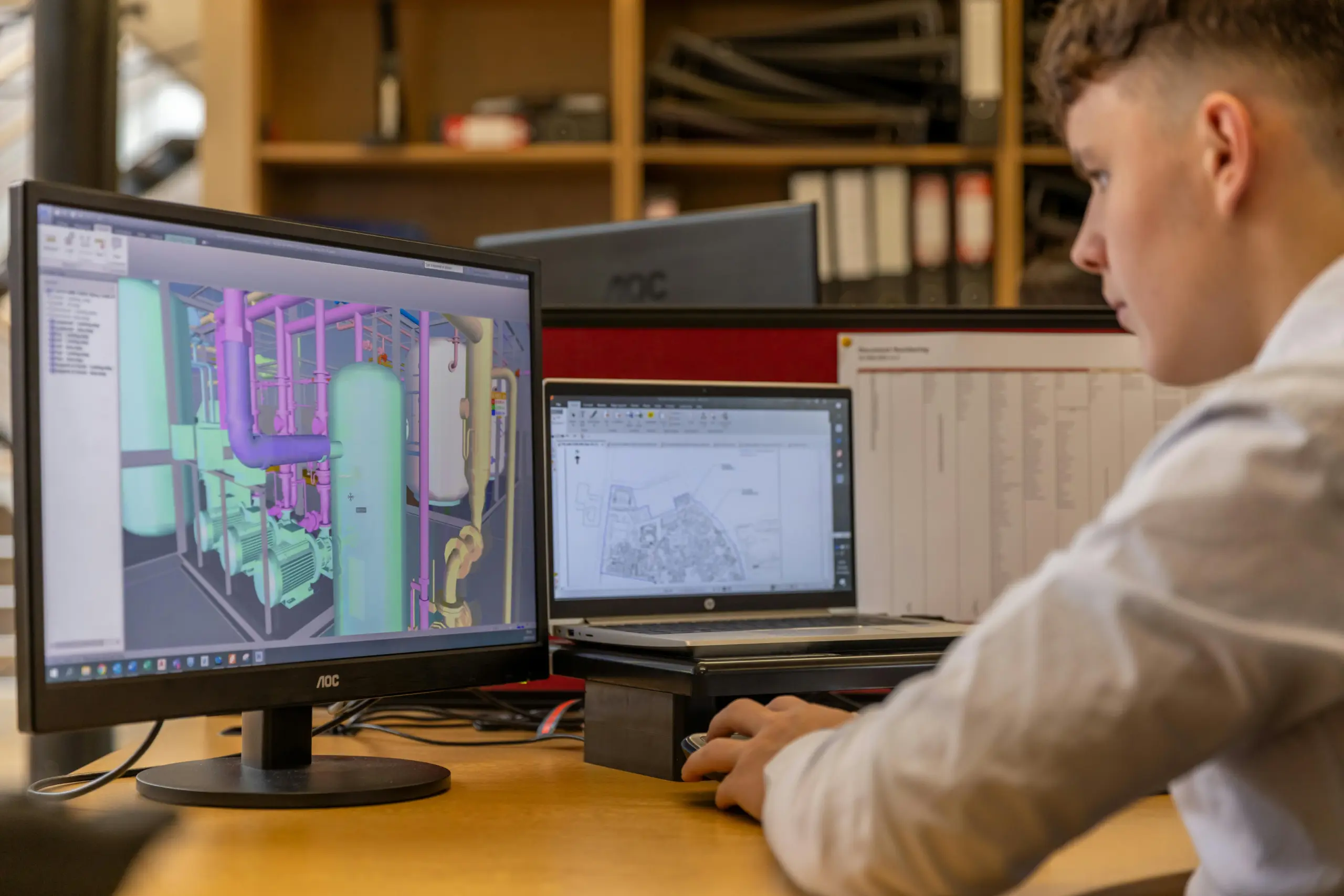
Construction-Ready
Markings, signals, and lighting documented to a level that contractors can build directly from the model and extracted drawings.
Clash Prevention
Underground signal and lighting ducts coordinated against existing utilities — preventing costly on-site discoveries.
Tools & Standards
BIM Authoring
Autodesk Revit · Autodesk Civil 3D
Clash Detection
Autodesk Navisworks Manage
Road Design
Civil 3D Corridor & Intersection modelling
File Exchange
IFC 2×3 / IFC 4 · DWG (Civil 3D)
Standards
LTA Road Design Standards, LTA Traffic Signs Manual, CP for Street Works
Documentation
Road marking plans, signal schedules, lighting layout drawings (PDF/DWG)
Legal Notice & Confidendiality Statement
This portfolio page is published for marketing and capability demonstration purposes only. All images, model views, and technical descriptions are used with the knowledge of the project owner and do not disclose any proprietary, confidential, or For-Construction (IFC) design information. The identity of the Main Contractor has been withheld in accordance with contractual confidentiality obligations. Published content complies with Singapore’s Copyright Act 2021, the Personal Data Protection Act (PDPA), and applicable non-disclosure provisions. No contract values, tender prices, exact junction locations, or commercially sensitive design data are disclosed. Beyond+ Pte Ltd retains all intellectual property rights over BIM deliverables produced under this engagement.
Have a road or traffic infrastructure BIM requirement?
Contact Beyond+ Pte Ltd — Singapore’s trusted BIM specialist for LTA road, traffic, and civil infrastructure projects.